Traffic congestion is a headache for drivers everywhere.
But with an estimated three million people moving to cities around the world every week, rapid urbanisation is making the situation worse.
A report released earlier this year at the OECD International Transport Forum (ITF) said global transport activity will more than double by 2050, and traffic emissions will rise by 16 per cent compared with 2015.
To help reduce traffic, some cities are already harnessing Internet of Things (IoT) devices and smart technologies to mitigate road congestion through the use of smart traffic management systems.
IoT devices are embedded with sensors, processing ability, software, and other technologies that connect and exchange data with other devices and systems over the internet or other communications networks.
Siemens
Speaking at the Urban and Rural Development forum at Expo 2020 Dubai, Afzal Mohammed, vice president of IoT technology and innovation at Siemens, said policymakers need to utilise data for city-specific challenges.
“Governments need to harness technology based on purpose and need,” he said.
“But it has to be a collective effort, including input from private entities and citizens too.
“With open data platforms, governments can implement policies by making use of data that is available and in turn, make it purposeful for humanity.”
As the drive for smarter and safer cities continues, government initiatives for traffic management are increasing as hyper-urbanisation continues to be a major factor in the growth of road congestion.
Citing examples from around the world, Mr Mohammed said cities in the Philippines and US are tackling peak hour traffic in partnership with taxis and navigation applications.
Here, The National looks at how data and IoT can help cities cope with mobility issues linked to rapid urbanisation.
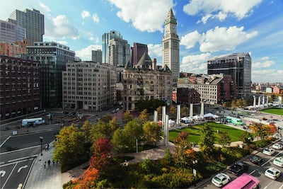
Boston

In 2015, the city established a data-sharing partnership with the Google-owned navigation application Waze, to help improve the flow of vehicles over city streets.
Waze users can monitor real-time traffic on their smartphones, ask the app to show alternate routes, and report traffic conditions, construction projects, and police speed-monitoring locations.
The city then uses the Waze data to improve the flow of traffic in Boston and provide traffic alerts to users.
Waze’s traffic data is then used to help adjust Boston’s 550 signalled intersections at the city’s Traffic Management Centre, which also shares information on road closures with users in real-time.
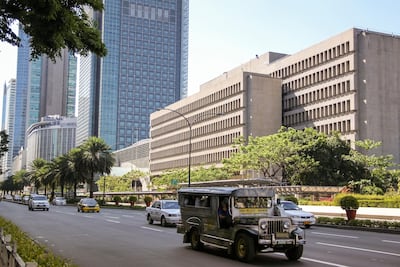
Cebu City and Metro Manila

The city launched an Open Traffic platform several years ago that optimises the timings of traffic signals at peak hours using GPS data from the smartphones of drivers for the taxi-hailing app Grab.
The programme has helped to address traffic congestion and road-safety challenges through the use of big data and has allowed traffic management agencies to better manage traffic flows on the streets of Metro Manila and Cebu city.
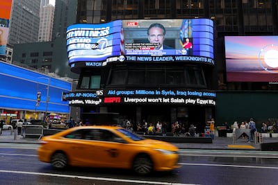
New York City

HubCab was launched several years ago and today tracks more than 170 million taxi trips per year to understand taxi users’ travel patterns.
With an ever-increasing trove of real-time urban data streams, the data allows the transport authorities to see precisely where, how, and at what times different parts of the city become heavily congested.
By using the technology, the city can unravel the complexity of its travel patterns and identify how to reduce the social and environmental costs embedded in the transportation systems.


