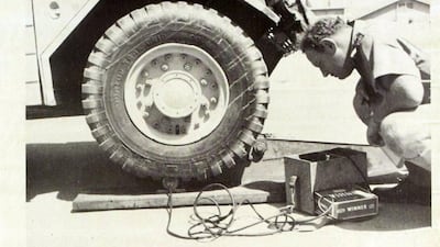
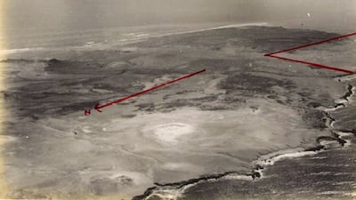
A treasure trove of archive documents that explore the people and events that helped shape the Arabian Gulf will be made available online this year.
They include maps, rarely seen before by the public, that helped to set out the borders of the UAE. They were drawn by the late Julian Walker, a British diplomat handed the challenge of defining the boundaries of the seven emirates.
The documents are part of the second phase of the Arabian Gulf Digital Archive ― a landmark digitisation project between the UAE and the UK ― that aims to shed light on the rich history of the Gulf. A vast collection of hundreds of thousands of files are expected to go live on the AGDA’s website later this year once they are catalogued, transcribed and translated into Arabic.
The new collection will include 150 years of UK diplomatic records covering Oman and Saudi Arabia; records from the country's air ministry and ministry of defence; and information on publicity campaigns run by the British in modern-day UAE.
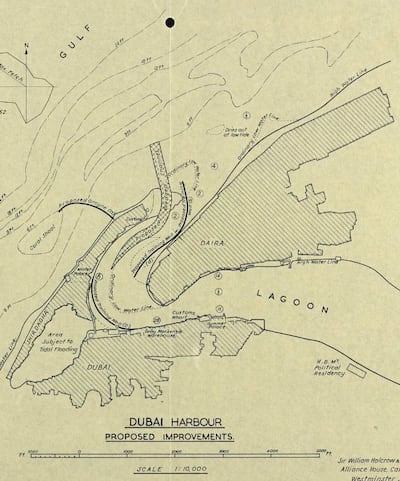
“Phase two of the project is going to more than double the content,” Jeff James, chief executive of the UK’s National Archives, told The National. “It is big and we are still only scratching the surface of the content we have.”
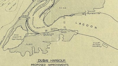
About 500,000 images ― or individual archive files ― will be released in the second tranche and it is these hand-drawn maps that Mr James pinpoints as particularly intriguing and "visually impactful".
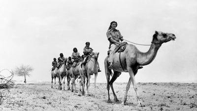
Walker travelled across the seven emirates in the 1950s as a junior diplomat. His task was to map the borders of what was then known as the Trucial States. His report was completed in 1960 and Walker returned in 1971 on the eve of British withdrawal from the Gulf to assist further ahead of the UAE's foundation that December.
'Jewel in the crown' of project
“From talking to colleagues at Kew [headquarters of the UK National Archives] and in the UAE, these Julian Walker maps are something we are particularly excited about,” Mr James said. “In some respects they are the jewel in the crown for the second phase.”
Other archives expected to be released include maps created between 1948 and 1960 showing boundary lines and frontier surveys between Abu Dhabi and Oman; diplomatic records from the 1840s up to 1990 covering the British withdrawal from the Gulf; and files outlining co-operation between the UK and Saudi Arabia on sport.
Further releases are anticipated from the UK's ministry of defence; colonial office; admiralty; air ministry; and details relating to the British efforts in the Gulf to promote its interests such as a film dating from the 1950s called These are the Trucial States.

“The plan is to upload these towards the end of 2023,” Mr James said. “And we are starting now to talk about the third phase and scope out what could go in that.”
Previous releases by the AGDA showed the huge changes taking place in the Gulf as the Trucial States became the UAE. They show Emirati leaders travelling the world and the major developments taking place in Dubai and Abu Dhabi in the years before the formation of the UAE.
More information on when the files will go live is expected in the next few months but with their addition, AGDA has become a hugely valuable archive for researchers, students, officials and those simply curious about what shaped the past.
"It is a groundbreaking project,” Mr James said. “Two national archives coming together, working collaboratively, sharing content and putting that up there on a new platform.”
