
Today, life in the Emirates moves in the fast lane. In a new regular series to mark the 50th anniversary of the UAE we take a little trip back in time and see just how much the country has changed.
So far in the series, Then and Now has travelled to Abu Dhabi, Sharjah city and Khor Fakkan. Now it is Dubai's turn.
By the time British oilman John Vale took this photograph of the Creek, in 1966, Dubai had already completed its first megaproject. Engineers had dredged a channel to allow larger ships to navigate the Creek. The photograph shows a busy port with large numbers of dhows, ships and smaller abra water taxis scuttling between Bur Dubai and Deira.
On the Bur Dubai side, the new warehouses catering to this increased trade can be seen, while on the middle right we can see the development of a proper quayside in comparison with the bottom right when it was still possible to casually walk down to the water. Also striking are the two minarets of the Grand Bur Dubai and Ali Ibn Abi Talib mosques on the Bur Dubai side.
What perhaps was most remarkable when The National's Chris Whiteoak photographed the scene again this month was how similar it was to that 1966 shot despite all the redevelopment in the years since. Modern buildings line the Creek now, the warehouses on Bur Dubai are no more as most of the major maritime trade has shifted to Port Rashid and Jebel Ali, while Dubai Canal in 2016 created a continuous channel back to the sea in Jumeirah.
So the entire Bur Dubai side is now technically an island. But the new photograph also shows that traditional dhows are still moored by the Deira side, while the abras still fuss across the Creek. Many of the buildings remain low-rise, both minarets still punctuate the skyline and Dubai Creek still flows down through the decades.
Dubai's historic dhow trade
-
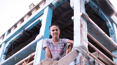
Dhow captain AbdulRedha Mohammed, 42, from Kish Island, looks down from his dhow. Reem Mohammed / The National -
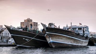
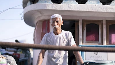
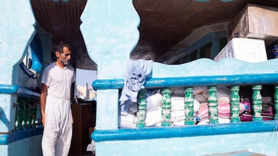
Crews load and unload goods and cargo near Deira Spice Souq in Dubai. For many people, the Creek with its dhow moorings, abra and souqs is the essence of old Dubai - the city's original trading centre that remains a symbol of early commerce in today's busy metropolis. Reem Mohammed / The National -
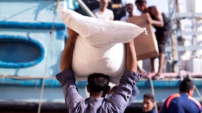
Men load and unload cargo from the dhows. Reem Mohammed / The National -
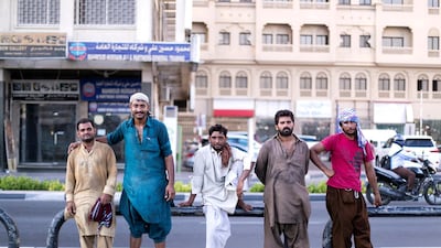
Dhow loaders gather by the creek in Deira. The creek has been a hub of activity for decades with traders bringing in goods and selling their wares at the bustling markets nearby. Reem Mohammed / The National -

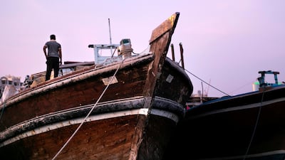
Dubai Creek has been at the heart of trade routes between Iran and the UAE for centuries. Reem Mohammed / The National -
Murad Rashid, a dhow engineer from Makran. He is one of many to journey between Dubai and southern Iranian ports delivering goods. Reem Mohammed / The National -
A dhow's cook oversees the loading of items. Reem Mohammed / The National -
Cargo it taken from large lorries and loaded onto dhows at the creek. Reem Mohammed / The National -
Dhows are loaded and loaded with goods to buy and sell between Iran and Dubai. This trade has been ongoing at the creek for centuries. Reem Mohammed / The National -
A man overseas the loading of his dhow being by Deira's Spice Market. Reem Mohammed / The National -
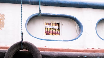
Boxes of ketchup are loaded onto a dhow at Dubai Creek. Reem Mohammed / The National


